


Voting District 0856488000012, Lake County, Michigan
About
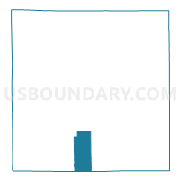
Outline

Summary
| Unique Area Identifier | 597540 |
| Name | Voting District 0856488000012 |
| County | Lake County |
| State | Michigan |
| Area (square miles) | 14.59 |
| Land Area (square miles) | 14.34 |
| Water Area (square miles) | 0.25 |
| % of Land Area | 98.30 |
| % of Water Area | 1.70 |
| Latitude of the Internal Point | 43.85485050 |
| Longtitude of the Internal Point | -85.82221740 |
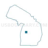
Maps

Graphs
Select a template below for downloading or customizing gragh for Voting District 0856488000012, Lake County, Michigan


Neighbors
Neighoring Voting District (by Name) Neighboring Voting District on the Map
- Voting District 0851510000002, Lake County, MI
- Voting District 0856488000013, Lake County, MI
- Voting District 0856488000014, Lake County, MI
- Voting District 0858506000017, Lake County, MI
- Voting District 0858506000018, Lake County, MI
- Voting District 0858904000019, Lake County, MI
- Voting District 1233886000001, Newaygo County, MI
- Voting District 1234744000001, Newaygo County, MI
Top 10 Neighboring County Subdivision (by Population) Neighboring County Subdivision on the Map
- Webber township, Lake County, MI (1,699)
- Pleasant Plains township, Lake County, MI (1,581)
- Lilley township, Newaygo County, MI (797)
- Yates township, Lake County, MI (761)
- Cherry Valley township, Lake County, MI (396)
- Home township, Newaygo County, MI (232)
Top 10 Neighboring Place (by Population) Neighboring Place on the Map
Top 10 Neighboring Elementary School District (by Population) Neighboring Elementary School District on the Map
Top 10 Neighboring Unified School District (by Population) Neighboring Unified School District on the Map
Top 10 Neighboring State Legislative District Lower Chamber (by Population) Neighboring State Legislative District Lower Chamber on the Map
Top 10 Neighboring State Legislative District Upper Chamber (by Population) Neighboring State Legislative District Upper Chamber on the Map
Top 10 Neighboring 111th Congressional District (by Population) Neighboring 111th Congressional District on the Map
Top 10 Neighboring Census Tract (by Population) Neighboring Census Tract on the Map
- Census Tract 9701, Newaygo County, MI (4,770)
- Census Tract 9611, Lake County, MI (3,617)
- Census Tract 9612, Lake County, MI (2,784)